Oct 12, 2026
A Look Back at the Fieldwork
After the challenges we faced in August, our most recent field day went much more according to plan. The team was able to complete all planned tasks, and the groundwater monitoring network is now fully operational.
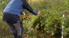
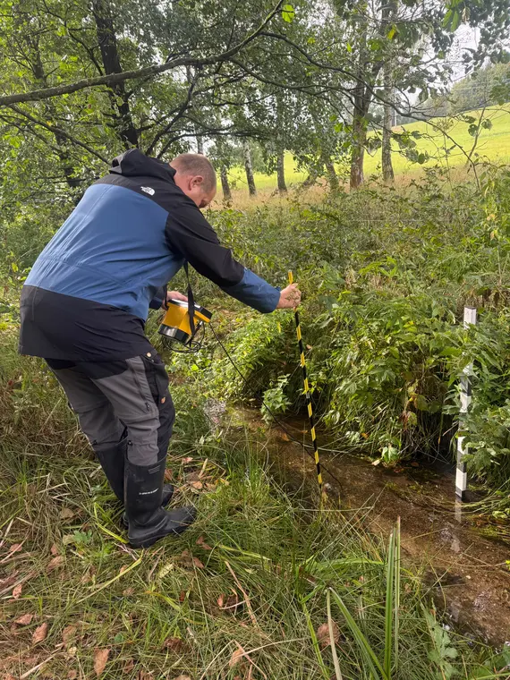
Measuring discharge and flow velocity: We measured the discharge and flow velocities upstream and downstream of the beaver dam system. These measurements allow us to track changes in water discharge over time. At the same time, they provide an important basis for better understanding the interactions between the water body and the groundwater.
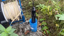
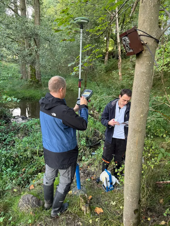
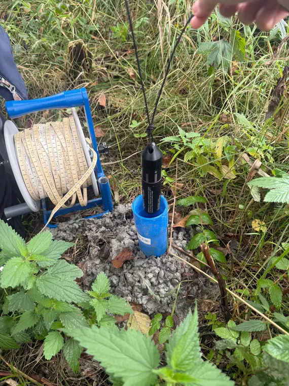
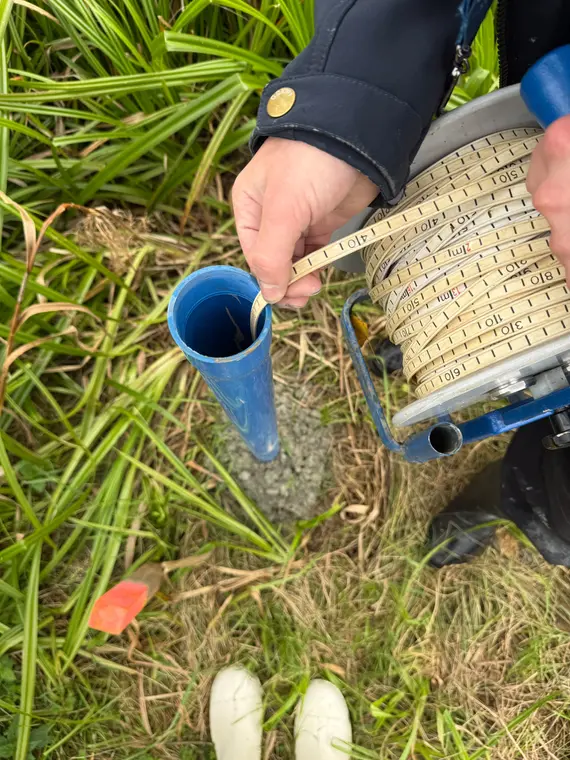
Completion of the groundwater monitoring network: All 10 groundwater monitoring sites are now equipped with piezometer sensors. Five sensors had already been installed during earlier site visits. We have retrieved the data from these sensors and, as a result, have had a continuous record of groundwater levels since their installation in August. With the monitoring network now fully operational, we can track how precipitation, dry periods, and changes in runoff throughout the study area affect the groundwater.
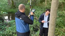
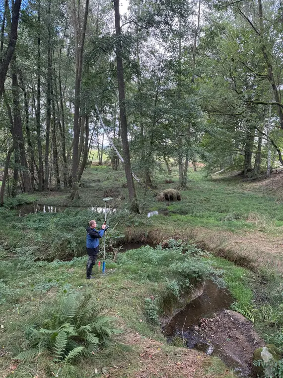
GPS Surveying: All 10 monitoring sites were surveyed using GPS. Their exact coordinates form the basis for the spatial analysis of groundwater levels and their incorporation into our model.
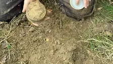
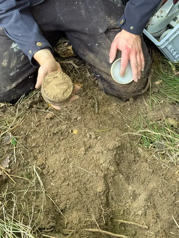
Soil samples: The team also collected soil samples, which are currently being tested in the laboratory for permeability. These values are an important input for the coupled surface water–groundwater model that we are using to better understand how beaver dams influence the water balance in the study area.

© T. Heyer / IWD
© S. Thepphachanh / IWD

© T. Heyer / IWD

© T. Heyer / IWD
© S. Thepphachanh / IWD
© S. Thepphachanh / IWD
© S. Thepphachanh / IWD
© S. Thepphachanh / IWD