
Sep 02, 2026
New Scientific Review Identifies Antarctic Coastal Blind Spots Limiting Sea Level Projections
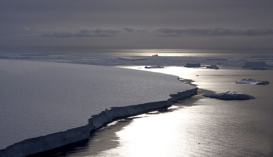
Pine Island Bay.
A new, international, community-led scientific review warns that major gaps in knowledge along Antarctica’s coast are now one of the biggest obstacles to reliably predicting future global sea level rise.
The paper, recently published in American Geophysical Union (AGU)’s Reviews of Geophysics (https://doi.org/10.1029/2022RG000803), synthesizes current understanding of how ice, ocean, atmosphere, and the solid Earth interact in Antarctica’s coastal zone, and highlights key knowledge gaps and the need for improved observations at a pan-Antarctic scale.
The review was written by 80 scientists from 16 countries, experts from across glaciology, oceanography, geophysics, and atmospheric science. Many scientists from Germany contributed to this study, working at the universities in Kiel, Bremen, Tübingen, Erlangen and Dresden, at the Alfred Wegener Institute Helmholtz Centre for Polar and Marine Research (AWI), Bremerhaven, GEOMAR Helmholtz Centre for Ocean Research, Kiel, and Federal Institute for Geosciences and Natural Resources, Hannover. Dr. Mirko Scheinert, Senior Scientist at the Chair of Geodetic Earth System Research at TUD Dresden University of Technology, is one of the co-authors. This activity has been coordinated through the Scientific Committee on Antarctic Research (SCAR) RINGS Action Group. RINGS is also endorsed by the Council of Managers of National Antarctic Programs (COMNAP), which ensures to provide logistics knowledge for efficient survey planning and better coordinate support when it is provided by national Antarctic programs.
The paper brings together existing observations, models, and theory to highlight how incomplete data continue to limit estimates of Antarctic ice loss and future sea-level rise.
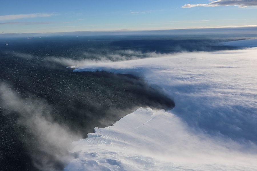
Amundsen Sea with ice drift
“Antarctica’s coastal zone is where ocean, ice, atmosphere, and the underlying bed interact—making it central to predicting future sea level rise. Yet, limited observations in this region leave critical gaps in understanding, meaning Antarctica remains a major source of uncertainty”, says first author and the chair of the RINGS Action Group, Dr. Kenichi Matsuoka at Norwegian Polar Institute (Tromsø, Norway).
A critical control point for sea level rise
The Antarctic coastal zone is not simply the edge of the continent. It is a tightly coupled system where grounded ice meets the ocean, and where small changes can have outsized consequences. Processes occurring near the grounding zone—the point where ice lifts off the bed and begins to float—can regulate ice discharge or, under certain conditions, trigger feedbacks that accelerate ice loss.
Observations over recent decades show that Antarctic mass loss has increased. The most rapid changes are driven by interactions between the ice and surrounding ocean, and by ice flow at the margins of the ice sheet, rather than surface melting alone. Yet key coastal conditions remain poorly mapped.
The biggest gaps—and why they matter
The review identifies persistent gaps in direct observations of coastal bed topography and sub–ice shelf cavities. Since ice sheet models are highly sensitive to conditions at the coast, even advanced models can produce misleading results when this data is missing or poorly constrained.
While satellite observations provide powerful measurements of ice motion and surface change, they cannot observe the bedrock under ice from space.
“We cannot rely on satellite data alone to estimate the Antarctic ice mass loss. Likewise, we cannot only use computer models to predict future change. For both, we need accurate knowledge of the subglacial and ocean bed topography. Measurements like those described in the paper are key observations, especially in the transition zone from continent to ocean, and provide the missing piece”, Mirko Scheinert says.
A roadmap for coordinated action
Because no single nation can achieve comprehensive coverage alone, the authors emphasize that international coordination is essential.
“Uncoordinated surveys risk leaving gaps or duplicating effort. This paper provides an evidence-based framework to support coordinating RINGS activities under SCAR and COMNAP, helping to build more comprehensive datasets for improved sea-level projections”, Matsuoka says.
“Such internationally coordinated efforts can serve as a steppingstone towards the next International Polar Year 2032–33”, Matsuoka concludes.
Reference
Matsuoka, K., Moholdt, G., Arthur, J. F., Bodart, J. A., Cui, X., Ferraccioli, F., et al. (2026). Toward an improved understanding of the Antarctic coastal zone and its contribution to future global sea level. Reviews of Geophysics, 64, e2022RG000803.
https://doi.org/10.1029/2022RG000803
Contact
Dr. Mirko Scheinert
TUD Dresden University of Technology
Chair of Geodetic Earth System Research