
Jul 27, 2026
Life After the Fire: How Drones and Remote Sensing Map Forest Recovery
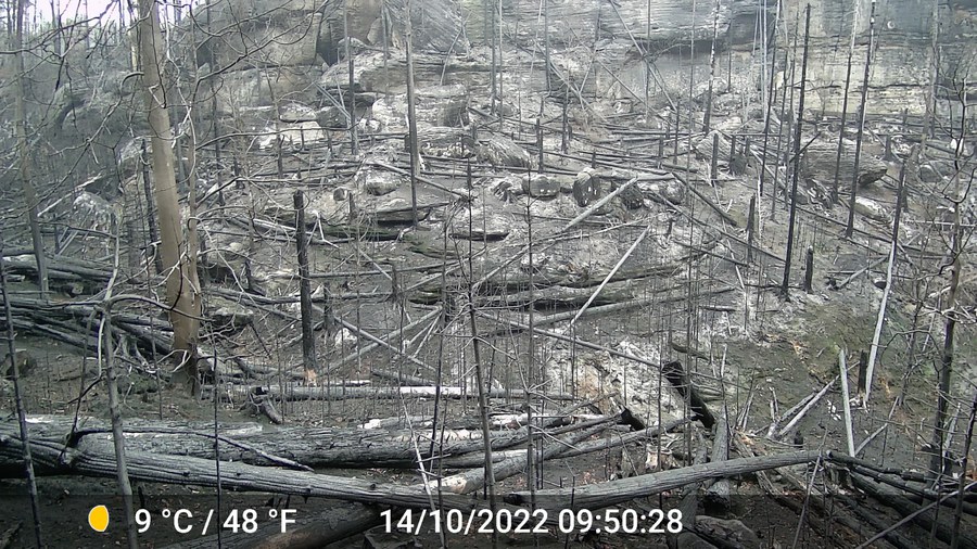
How quickly does a forest recover after a devastating wildfire, and where is human intervention needed most? In the latest episode of ARD Wissen ("Aus der Asche – Was kommt nach dem Waldbrand?"), researchers from the Junior Professorship for Geosensor Systems and the Professorship for Environmental Remote Sensing share their expertise on post-fire monitoring.
By combining high-resolution UAV (drone) imagery with satellite remote sensing, the team demonstrates how cutting-edge spatial data can assess vegetation damage, track natural regeneration, and guide sustainable forest management in affected areas.