
Nov 04, 2026
Quantarctica 4: New dataset for Antarctic research released
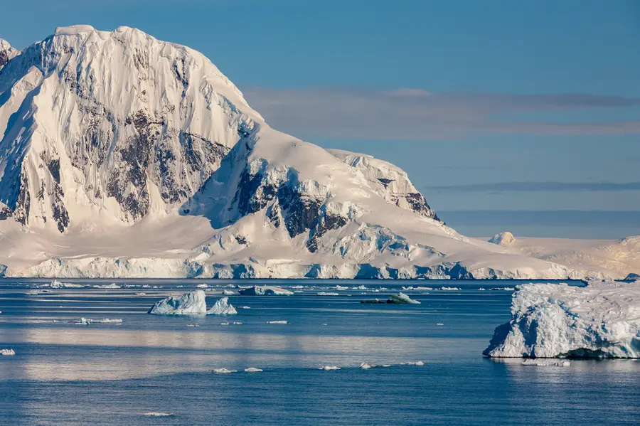
For more than ten years, “Quantarctica” has been providing the Antarctic research community with high-quality, verified and consistently georeferenced data.
On October 30, 2026, the Norwegian Polar Institute released the new version 4 of Quantarctica, a comprehensive dataset for Antarctic research. With over 600 georeferenced datasets from all scientific fields, it supports polar research in different academic subjects ranging from atmospheric science to the social sciences. TUD Dresden University of Technology, represented by Dr. Mirko Scheinert from the Chair of Geodetic Earth System Research, is involved in the scientific selection and processing of the data. Quantarctica 4 is now available for free.
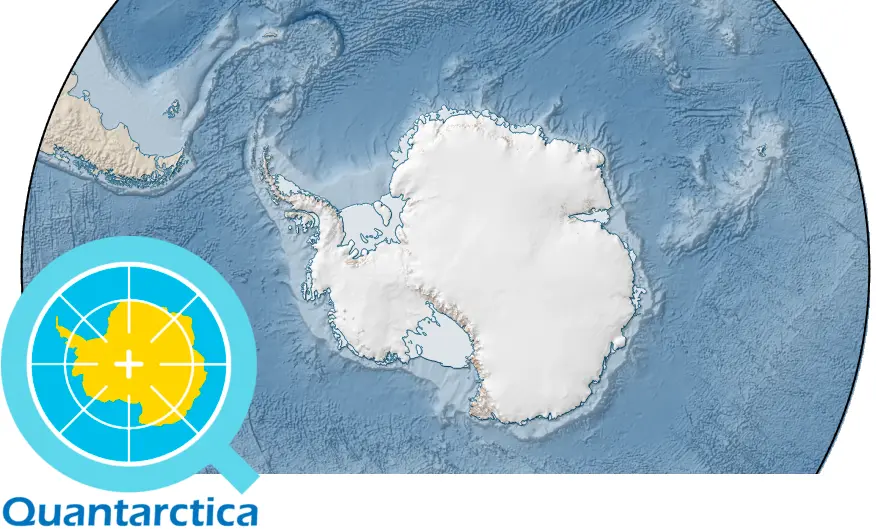
On October 30, 2026, the Norwegian Polar Institute (NPI) in Tromsø released the new Version 4 of Quantarctica. The data compiles a wide variety of georeferenced datasets on research and infrastructure in Antarctica and prepares them for use with the QGIS geographic information system. Featuring more than 600 datasets, the number has more than doubled compared to the previous version. All Antarctic-related scientific disciplines are represented, ranging from the atmosphere through biology and geosciences to the social sciences.
In addition to base maps, the core datasets include digital elevation models of ice surface height and sub-glacial topography, as well as infrastructure data such as the research stations currently operating in Antarctica.
17 scholars from various disciplines and different international institutions acted as theme curators for the scientific selection and processing of the relevant datasets. Dr. Mirko Scheinert from TUD’s Chair of Geodetic Earth System Research was responsible for the geophysics theme.
“Since the release of the first version in 2013, Quantarctica has been providing high-quality, verified and consistently georeferenced data to the Antarctic community for more than ten years,” says Mirko Scheinert.
Quantarctica Version 4 is now available for free use.
Project website
https://sites.npolar.no/quantarctica/
Quantarctica 4 dataset
Matsuoka, K., Skoglund, A., Wendt, L., Mahagaonkar, A., Tronstad, S., Cajiao, D., Fraser, A., Hills, B., Leihy, R., Liggett, D., Moreau, S., Nakayama, Y., Noël, B., Paxman, G., Poinelli, M., Ritz, C., Ruppel, A., Scheinert, M., Seyboth, E., & Trusel, L. (2026). Quantarctica Version 4: Integrated Geospatial Data Package for Antarctica, the Southern Ocean, and Subantarctic Islands [Dataset]. Norwegian Polar Institute. [https://doi.org/10.21334/NPOLAR.2026.1DA42C46] (https://doi.org/10.21334/NPOLAR.2026.1DA42C46)
Contact:
Dr. Mirko Scheinert
Chair of Geodetic Earth System Research
TUD Dresden University of Technology
+49 351 436-33683