Sep 24, 2025
Data collection on forest change in Bohemian and Saxon Switzerland
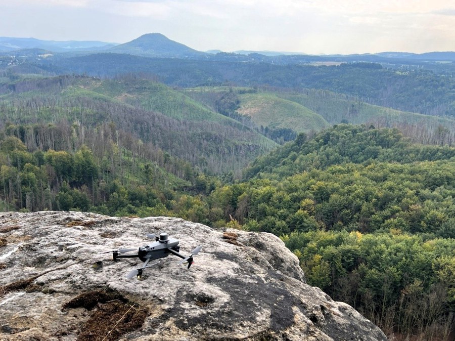
As part of the TransForMon project, the team from the Junior Professorship in Geosensor Systems at TUD Dresden University of Technology, in cooperation with the Faculty of Natural Sciences at Charles University in Prague, used modern remote sensing technologies to record the changes in forest landscapes in Bohemian and Saxon Switzerland.

Drones and a hand-held laser scanner were used in the Richterschlüchte, Großer Zschand and Silberwände areas. Drones were used to collect RGB and multispectral images as well as LiDAR data. In addition, measurements were taken with a hand-held laser scanner, which enables high-precision ground measurements.

The combination of these data allows an analysis of the forest condition. Multispectral images provide information on the vitality of the vegetation and enable the identification of stress factors such as drought or pest infestation. LiDAR data provides high-resolution 3D models of the forest structure, which allow statements to be made about tree heights, crown closure or gaps in the stand.
