Mar 14, 2025
UAV 2025 - Geo data from new perspectives
Drones are high-tech tools that are revolutionizing the way we collect data. The UAV Seminar 2025 in Dresden proved it: when photogrammetry, LiDAR, and AI-powered analysis come together, geospatial data reaches an entirely new level!
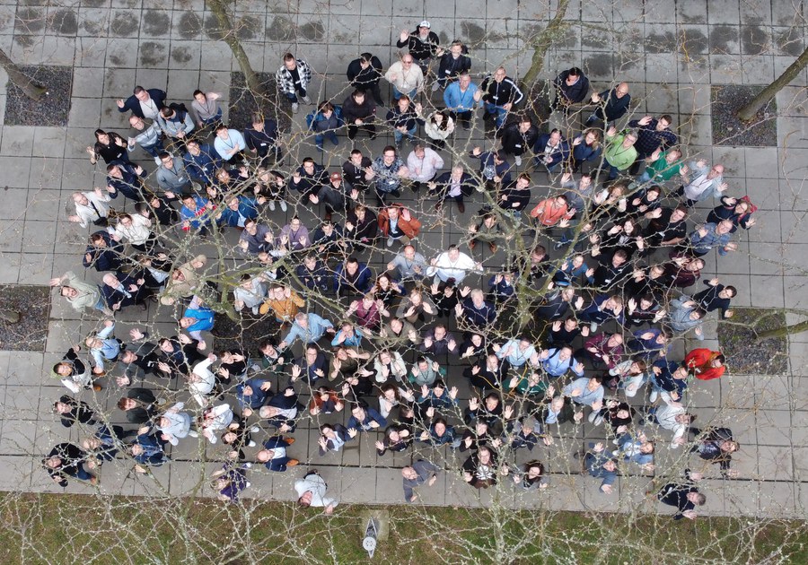
From legal frameworks and governmental applications to smart point cloud fusion, flood monitoring, and forest inventory – the presentations and discussions were a showcase of innovation. Over 150 attendees from universities, companies and agencies joined the seminar.
A specially organized beginner’s workshop provided hands-on insights into flight planning, drone operation, and image data analysis – the perfect starting point for integrating drone technology into various professional fields!

The seminar was organized by our team, by Danilo Schneider at the Faculty of Geoinformation at HTW Dresden, in collaboration with DVW e.V. Many thanks to everyone who contributed with expertise, dedication, and curiosity!
https://dvw.de/veranstaltungen/uav-2025