Creek4D Mapping-Software (C4D)
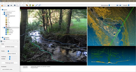
C4D is a free research software, for deriving water body specific parameters from point clouds and image sequences for the analysis of small water bodies. It includes:
- Methods for terrain and vegetation classification in point clouds.
- Methods for generation and mapping of areas based on classified point clouds
- Methods for 3D mapping of linear objects in image data and point clouds
- Methods for 3D mapping of point objects
- Derivation of geometric and semantic attributes for mapped objects
Downloads
| Software: | C4D Download |
| User Manual: | C4D_UserManual.pdf |
| Test data set: |

