Geodetic Earth System Research
Geodesy is known as the science that determines Earth's shape. More precisely, geodesy addresses the geometry of the Earth surface, Earth's gravity field and Earth orientation and rotation in space, including temporal variations of all those phenomena.
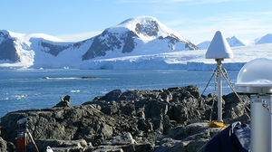 © Mirko Scheinert
Chair of geodetic earth system research
lead by Prof. Dr.-Ing. Martin Horwath
Geodesy is known as the science that determines Earth's shape. More precisely, geodesy addresses the geometry of the Earth surface, Earth's gravity field and Earth orientation and rotation in space, including temporal variations of all those phenomena.
Using a variety of terrestrial, airborne, and satellite techniques, geodesy contributes to interdisciplinary investigations of processes and interactions within and between components of the Earth system. These components include the lithosphere, the hydrosphere (oceans and continental water) the cryosphere (glaciers and ice sheets), and the atmosphere. In this spirit, our chair is devoted to "Geodetic Earth System Research".
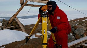
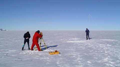
Our research includes many projects on continental ice masses, such as the ice sheets in Greenland and Antarctica, and their interaction with the solid Earth and the ocean. We address questions like: How does ice mass change in Antarctica and Greenland? Why and how does sea level change? What can solid Earth deformation tell us about past and present redistribution of ice and water? In addition to satellite data, we use our own field measurements, which we acquire during expeditions to Antarctica and Greenland. We combine the results of geodetic measurements with results of various approaches developed in geodesy and in neighbor disciplines such as geophysics and glaciology.
An impressive suite of satellite techniques is to be exploited. Satellite gravimetry reveals global mass redistributions through their gravitational effect. Satellite altimetry observes surface heights and surface height changes of oceans and ice bodies. GNSS(*) measurements are used to determine precise coordinates and coordinate changes of points, be it on rock or on an ice surface. Additional methods include optical and microwave remote sensing, airborne gravimetry and airborne altimetry.
We offer teaching within the Bachelor's course "Geodäsie und Geoinformation" and the Master's course "Geodäsie". We teach the fundamentals and methods of geodesy, including differential geometry, geophysical basics, and reference systems, satellite geodesy, stochastic processes and physical geodesy. Within the Master's course we bring interested students in touch with current topics of geodetic Earth system research. For those who want to go further, we offer jobs as student assistants, research assistants, or doctoral researcher. Some get the chance to go on an expedition to Antarctica or Greenland.
(*) Global Navigation Satellite System

