Jul 17, 2023
Comparison of free web mapping libraries
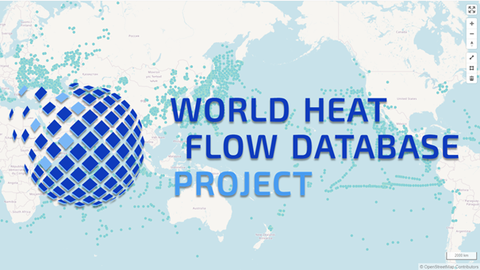
In the DFG-funded project World Heat Flow Database, heat flow data is collected via a web portal, checked for quality and then made freely available. In order to give a feeling for the spatial and temporal distribution of the geographical data, users are offered online visualization, exploration and selection tools.
For this purpose, existing open-source JavaScript web mapping libraries like Leaflet, MapLibre and OpenLyers offer extensive functionalities to implement this as a client-side application.
Which libraries exist in this context and how basic GIS functionalities can be implemented with their help is the main topic of the following report on Zenodo:

