Remote sensing and image interpretation
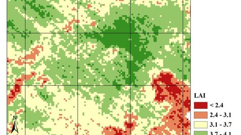
Remote sensing and image interpretation describe the complex of research on the acquisition, storage, thematic processing and interpretation / classification of object-describing electromagnetic radiation by means of suitable sensors, data carriers and image analysis methods based on spectral signatures. Sensor systems are supported by terrestrial, UAV or aircraft-based and satellite-based platforms and provide imaging or non-imaging analogue or digital data series resolved into specific spectral ranges.
The Chair of Remote Sensing was closed with the retirement of Prof. Dr. Csaplovics in March 2022. The chair is suceeded by the Junior-professorship in Environmental Remote Sensing.


