UAV photogrammetry
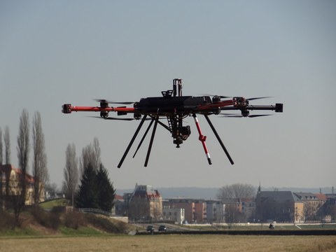
stadtPARTHEland – Cultivated landscape management as a bridge between cities and rural areas • UAV-based photogrammetric data acquisition and analysis
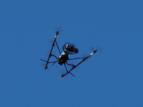
ADFEX • Adaptive federative 3D exploration of multi robot system
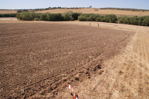
Soil erosion in the marl landscapes of Andalusia • High resolution measurement of soil erosion with TLS and UAV photogrammetry
Earth observation and environmental modelling for the mitigation of health risks • Earth observation and environmental modelling for the mitigation of health risks


