Terrestrial laser scanning in forest inventory
Project title
Automatic determination of forest inventory-relevant geometry parameters of forest trees from terrestrial laser scanner data
Description
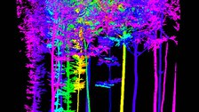
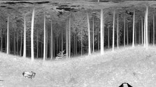
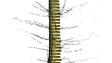
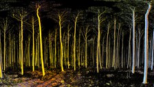
During periodic forest inventories, random inventory parameters such as tree species, tree height, diameter at breast height, distance and azimuth from the centre of the sampling area, as well as area characteristics and quality of the trees are measured and recorded manually in a two-man procedure. In addition to the manual measurements, the geometric parameters of a tree can also be obtained from terrestrial laser scanner point clouds. Data acquisition is carried out both in single-scan mode (one point of view - scanner placed in the plot centre) and in multiple-scan mode (several points of view). Manually measured tree parameters are used to validate the automation algorithms. The aim of the project is to develop algorithms for the automatic determination of forest inventory parameters from terrestrial laser scanner point clouds.
Goal
- Automatic determination of forest inventory-relevant geometry parameters of forest trees from terretrial laser scanner point clouds
Task
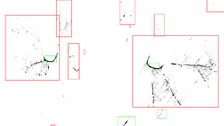
- Segmentation and classification of point clouds for the detection of trees
- Derivation of number and location of trees in the plot
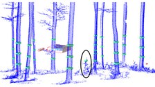
- Determination of diameter at breast height (DBH), tree height, diameter along the trunk, crown base height and crown parameter
Results
- Automatic detection rate of trees in sampling circles (15 m radius) of > 97%

© IPF

© IPF

© IPF

© IPF

© IPF

© IPF
Publications
Contact
The project was carried out in collaboration with TreeMetrics Ltd.
- Prof. Dr. habil. Hans-Gerd Maas (project management)
- Dr.-Ing. Anne Bienert (project work)

