Projects
This web page lists all research projects at the chairs "Photogrammetry" and "Geosensor Systems" - projects already concluded as well as current research intentions.
AirMetro - Ground-based sensing: Multimodal adaptive navigation of eV-TOL based on geodata
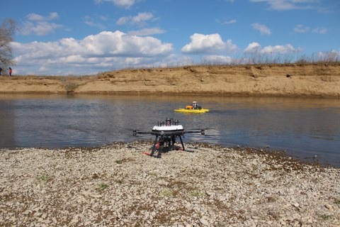
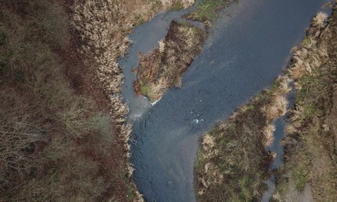
UAV and UWV for river change detection High-resolution topography to measure and model river channel morphodynamics
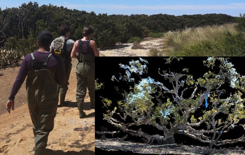
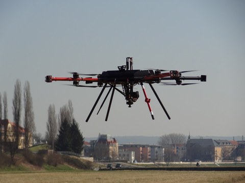
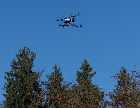
UAV and ML for earth and environment Integrating UAV multi-sensor data and machine learning for Earth and Environment
OpenDroP Erstellung eines Portals zur Verwaltung und zum Teilen von UAV Daten
UAVs in Environmental Sciences Wissenschaftliches Netzwerk zur Herausgabe eines Lehrbuches zur Nutzung von UAV in den Umweltwissenschaften
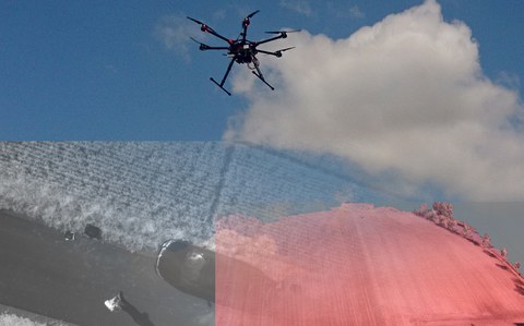
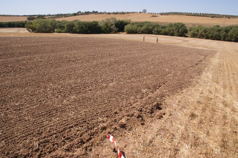
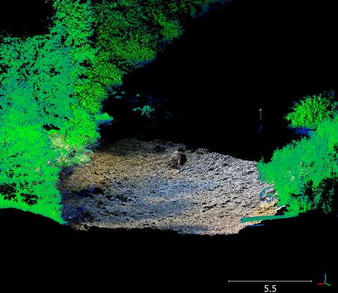
Soil erosion in the marl landscapes of Andalusia • High resolution measurement of soil erosion with TLS and UAV photogrammetry
ADFEX • Adaptive federative 3D exploration of multi robot system
4D Glacier margin change monitoring on the basis of multi-temporal 3D point clouds
Detection of debris-covered glacier fronts from stereoscopic image data of different scales
Extreme events in medium and small catchments (EXTRUSO) • New monitoring and prediction technologies for cooperative risk management
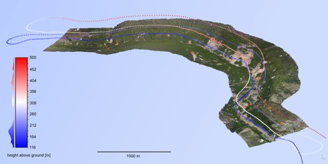
stadtPARTHEland – Cultivated landscape management as a bridge between cities and rural areas • UAV-based photogrammetric data acquisition and analysis
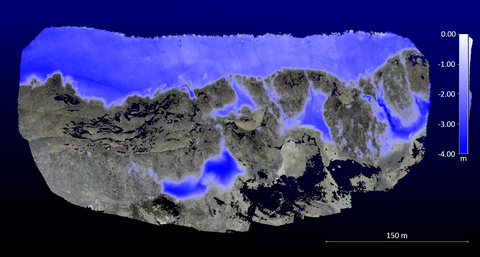
Environmental monitoring in Patagonia • Monitoring of environmental processes in Patagonia using photogrammetric and remote sensing techniques
Earth observation and enviromental modeling for the mitigation of health risksDetection of environmental changes in geospatial data and study of their impact on human health.
