Jan 14, 2021
OpenDroP public research platform: IPF and PIKOBYTES want to facilitate the re-use of drone data
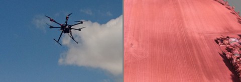
The use of drones to record environmental and geodata has now become standard. The practical unmanned aerial vehicles, UAVs for short, can carry out measurements of various kinds in the environmental and geosciences, but also in the field of traffic and mobility, relatively easily. However, because there are currently no well-indexed databases for the UAV measurements, the data collected is often forgotten after the end of the respective research project, although it could be useful for authorities, companies and science.
“Because the technical equipment, the sensors and the measurement data differ with each task, the amount and variability of recorded UAV data is very large. Thus, data is collected for every new research project, although extensive data sets are often already available. But the search for the right data is currently too time-consuming, ”says Anette Eltner, project manager at the Institute for Photogrammetry and Remote Sensing (IPF) at TU Dresden, summarizing the problem.
Together with the Dresden IT company PIKOBYTES, a spin-off from the TU Dresden that specializes in research solutions, the IPF now wants to develop a specialized research platform that will facilitate the re-use of collected drone data. Within the coming year, IPF and PIKOBYTES want to set up the first version of an open research platform for UAV data.
“Our approach is based on the development of library catalogs: all works are recorded in a uniform data structure for research and tagged accordingly. Search applications can then be developed on this so-called metadata, which makes it easier for users to find works, ”explains Matthias Müller, Managing Director of PIKOBYTES. PIKOBYTES is a spin-off of the TU Dresden and among other things specializes in the development of research solutions.
With the help of an Open Drone Portal (OpenDroP), the metadata structures for the UAV recordings are to be developed in the project team and tested on an initial database. "In the first step, we have to ensure that our research solution for internal use in research institutions and companies works well and is easy to use," says Matthias Müller. Towards the end of the project, the system is to be gradually expanded into a publicly accessible cloud solution that can be used jointly by researchers, companies, and the public sector to research existing UAV data, enter new data, and share it with third parties.
Project website: http://opendrop.de
The OpenDroP project is funded by the Federal Ministry of Transport and Digital Infrastructure with a total of 62,000 € within the framework of the Modernity Fund (“mFUND”) funding guidelines.
About the mFUND: As part of the mFUND research initiative, the BMVI has been funding research and development projects relating to data-based digital applications for Mobility 4.0 since 2016. In addition to financial support, mFUND supports networking between actors from politics, business and research as well as access to the mCLOUD data portal with various event formats. Further information can be found at www.mfund.de.
Information for journalists:
Anette Eltner
Institute for Photogrammetry and Remote Sensing (IPF) at TU Dresden
)


