 © IfK
© IfK
„To see means to understand“
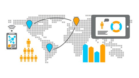
Cartography and Geo-visualisation develop within a tension field of science, technology and artistic design. Cartographic products of today impress by their high variety in terms of interactivity, animation, multimedia integration, 3-dimensionality and augmented reality support. Though maps existed prior to written words, we can presently observe a dynamic evolution of maps. This includes the whole process of visualisation of geo-information starting with an unprecedented spectrum of available geo-data comprising aerial and satellite imagery as well as other geo-sensor products or user-generated content. Moreover, we see a new generation of analytic tools supporting visual analytics as well as the exploration of big data. And finally at the user end, we are able to adopt our maps to tasks and demands of an individual. Research and education at the Institute of Cartography follow the objective to take an active part in these developments.

