01.05.2021
Neues Forschungsprojekt zur Kartierung der historischen Landbedeckung in Sachsen
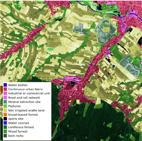
Im Rahmen eines neuen Forschungs- und Entwicklungsprojektes finanziert durch das Sächsische Landesamt für Umwelt, Landwirtschaft und Geologie werden wir die Landbedeckung in Sachsen zwischen 1964 und 1984 kartieren. Dazu werden wir historische "CORONA"-Aufnahmen des US-amerikanischen Spionageprogramms Keyhole mit Methoden der künstlichen Intelligenz auswerten.

