3D building models
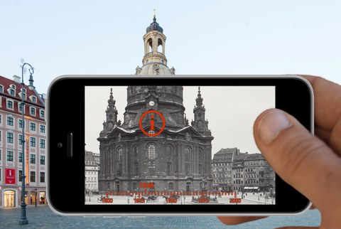
UrbanHistory4D – Multimodal approaches to historic image repositories • Automated geo- and timereferencing of historical photographs in the SLUB-Fotothek and photogrammetric generation of a historical 3D city model
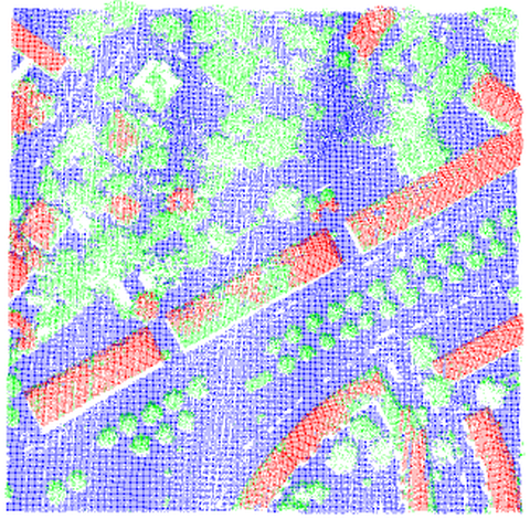
3D Building Extraction from LIDAR Data and Aerial Imagery
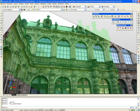
Image-based interpretation of point clouds in CAD software environment • Automated referencing between point clouds and digital images
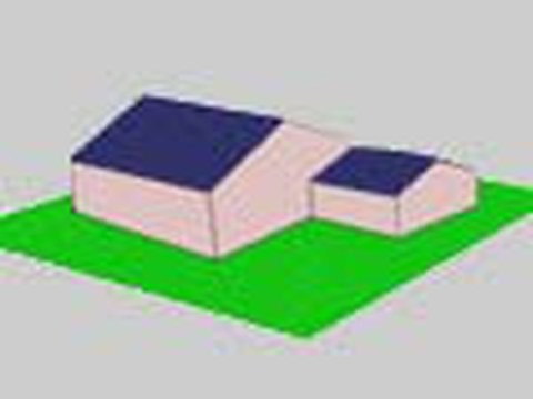
3D Building Model Generation by Surface Normal Clustering Analysis


