Work package EXTRA project
Subproject A: satellite and radar data (DWD)
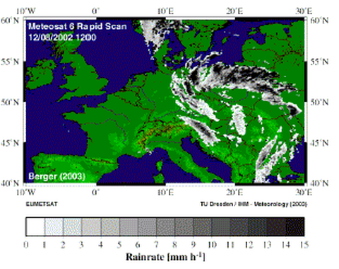
Duties and responsibilities- Determination of rain rates, droplet size and geometrical and optical thickness of clouds (Meteosat-8 SEVIRI data)
- Detection of regions with increased instability of Atmosphere (Meteosat-8 Instability-Index)
- Validation of derived products by Meteosat-8 product Multi Sensor Precipitation Estimate (MPE)
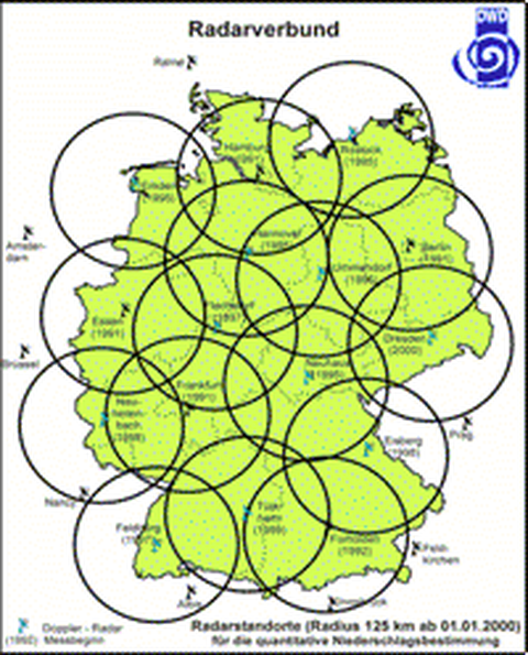
- Utilisation of radar products from German Weather Service (DWD) regarding to rain rates (evaluation)
- Validation
of single and combined products with the data of Saxon State Agency for
Environment and Geology (LfUG) and the DWD meteorological network
(Ombrometer)
Utilities
- Meteosat-8 (Meteosat Second Generation), 12 channels (temporal resolution: 15 minutes)
- Radar product RADOLAN (DWD) with a temporal resolution of 1 hour (radar data are adjusted by rain gauge data) and 15 minutes
- GII Global Instability Index (EUMETSAT)
- MPE Multisensor Precipitation Estimate (EUMETSAT)
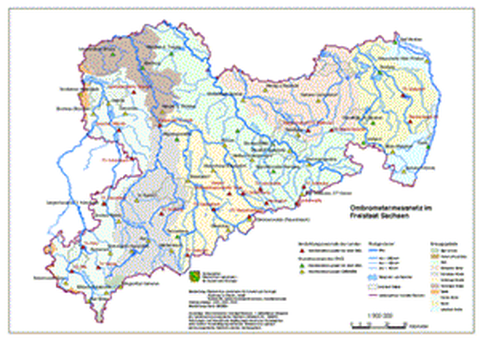
- Measured data from the DWD meteorological network (Ombrometer)
- Conventional precipitation measurements (Pluvios with temporal resolution of 10, 30, 60 minutes; more than 50 stations in Saxony)
Subproject B: Statistical analysis of Ombrometer data (TU Dresden)
Duties and responsibilities- Development of an operational working tool for defining the quality of online rain rate data
- Explanation of meteorological network: current for Saxony: 22 Ombrometer supported by LfUG + nearly 30 Ombrometer supported by DWD (launch of measurement stations till the end of 2006); in future: integration of necessary but not yet located Ombrometer
- Analysing of spatial variability of precipitation structures based on orographic effects
Utilities
- operational working meteorological network (LfUG Saxony, DWD)
- climate database ("CliSax") (TU Dresden, LfUG Saxony)
Subproject C: Integration of ground based- and
satellite data And Application in a operationel working analysis
and decition tool (Tu Dresden, LfUG)
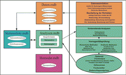
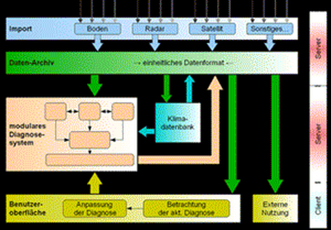
Duties and responsibilities- Conception and development of a JAVA based analysis and decision tool for diagnosing extreme rainfall events in real time
- Integration of data (data based on satellite, radar, Ombrometer, database "CliSax")
- Testing the operational working tool
- Tool installation at operational users in future, like LfUG, DWD, OpAQue
Utilities
- satellite and radar data
(DWD)
- operational working meteorological network (LfUG
Saxony,
DWD)
- climate database "CliSax" (TU Dresden)
