Research projects
Table of contents
This page lists all research projects at the Jun. Professorhip.
Current
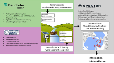
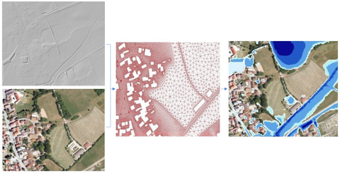
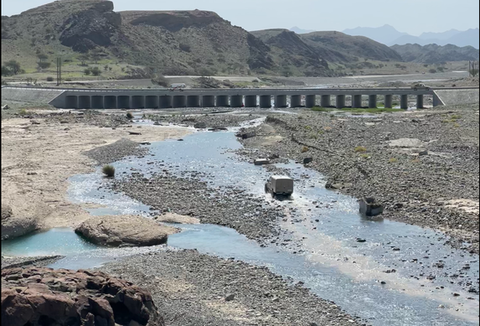
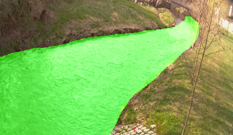
RivMon - Development of a camera- and AI-based risk assessment system for hazard detection and prevention during heavy rainfall events for local waterways
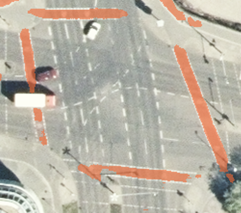
AI4CycleMaps - Automatic mapping of cycling infrastructure using deep learning
SFB/TRR 408 (AgiMo): Data driven agile planning for responsible mobility
Subproject: A03 - New data on street design and street user activities for innovative safety assessment methods
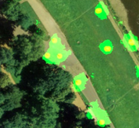
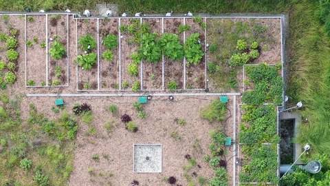
ValiGrün: Validation of climate adaptation potential and optimization of blue-green infrastructure functions in urban areas - By measuring and validating representative parameters, the climate adaptation of green buildings (roofs and facades) is to be made measurable in order to derive recommendations for action and optimization.
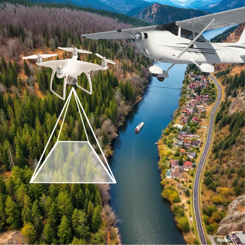
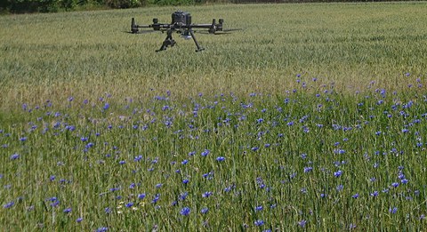
ÖSL-NRW: A remuneration system for the forests of North Rhine-Westphalia is being developed on the basis of performance points for selected ecosystem services, which takes into account the complex performance profile of the forest. UAV-supported information gathering provides an assessment of given ecosystem services.
TransForMon: Analysis of forest changes in Bohemian/Saxon Switzerland using remote sensing and the implementation of a cross-border, freely accessible information system on the historical development and current state of the forest as well as a platform for the collaborative use of forest data by the national park administrations.
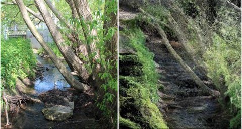
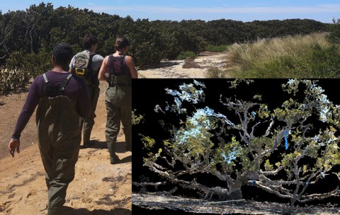
MPSC Watercourse structures: Development of an open-source tool for the automated detection of vegetation on land surfaces from 3D point clouds for application in small watercourse riparian zones and support for the implementation of a monitoring system for flood detection in public spaces.
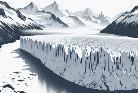
AI4Glaciers: Developing an innovative approach that combines multi-modal SfM-MVS with artificial intelligence algorithms, and multi-sensor data to achieve 4D (3D + time) monitoring of glacier calving with unprecedented spatial and temporal resolution.
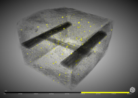
SFB/TRR 280: Design Strategies for Material-Minimised Carbon Reinforced Concrete Structures: Principles of a New Approach to Construction
GRK2947 "AirMetro": Technical and Operational Integration of Highly Automated Aviation in Urban Areas
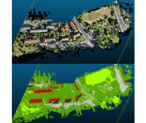
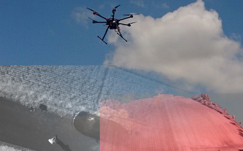
UAV-SRGK Automated fusion and classification of ALS and UAV data for the creation of heavy rain hazard maps
Finished
EarthBridge Earth observation techniques for biodiversity conservation and landscape adaptation to climate change
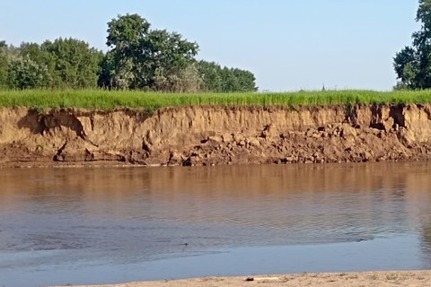
Development and setup of a stationary multi-sensor system to acquire spatio-temporal high-resolution observation data to measure river bank changes.
Multi sensor systems for flash flood observation Coupled use of camera systems and environmental seismics for the detection and observation of flash floods.
Optimising roof greening Influence of intensive roof greening on building and urban climate, water balance and vegetation in the urban environment
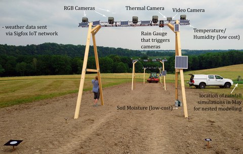
Erosion 4D High resolution photogrammetric methods for nested parameterisation and validation of physically based soil erosion models
KIWA Artificial Intelligence for Flood Warning
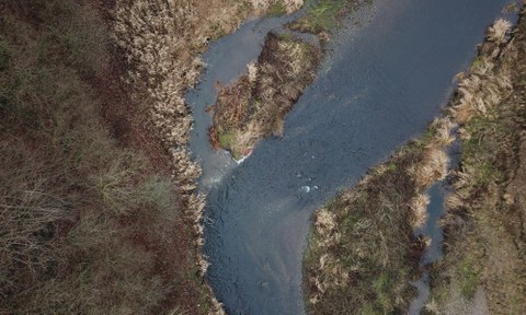
Creek 4D - Measuring small water bodies Automatic high resolution measurement of hydromorphological parameters of small rivers to support flood risk management and to reach a good ecological state
UAVs in Environmental Sciences Scientific Network to edit a teaching book about UAVs for the Environmental Sciences
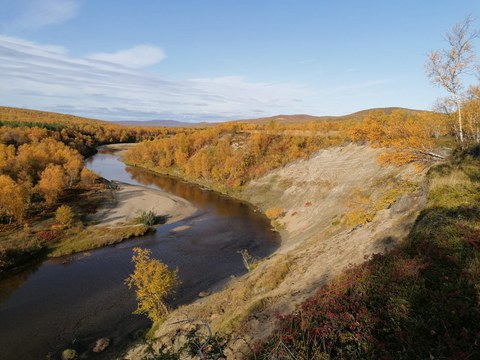
River reaches in cold climates Hydro-morphological change detection of rivers in cold climate regions with integrated spatio-temporal high resolution methods
OpenDroP Development of a repository to share and archive UAV data
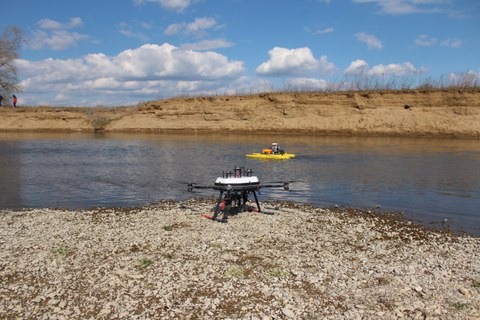
UAV and UWV for river change detection High-resolution topography to measure and model river channel morphodynamics
UAV and ML for earth and environment Integrating UAV multi-sensor data and machine learning for Earth and Environment
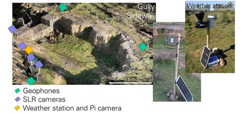
Torrential rainfall in Mediterranean small-scale catchments Camera-based and seismic high-resolution monitoring of a gully system in Extremadura.

