Laserscanning

Calibration methods and accuracy assessment for terrestrial laser scanners • Part of project Process optimization, quality improvement & analysis tools for multi-textured surface models (PROQUATO)
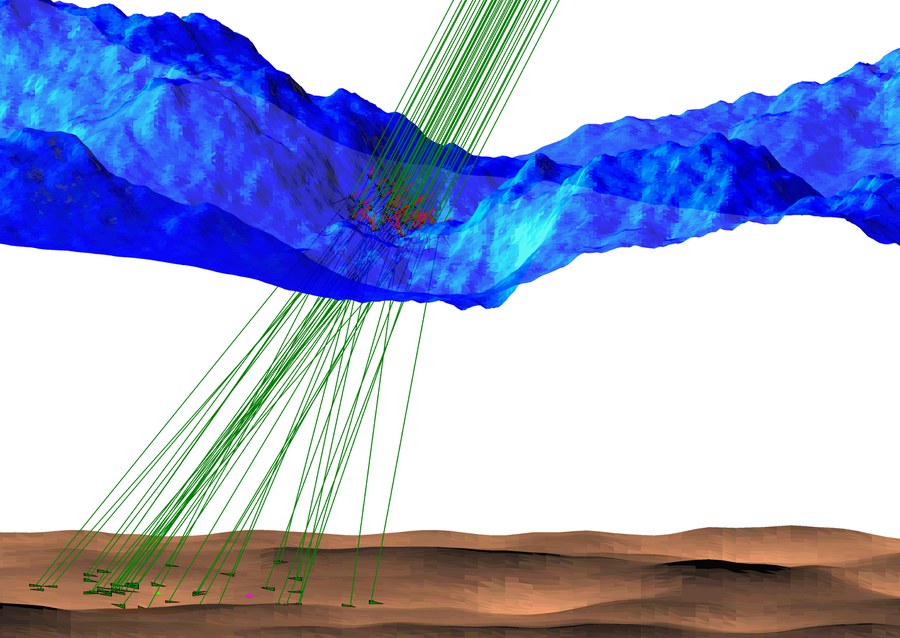
Refraction effects in airborne LiDAR bathymetry • Development of a model for strict handling of refraction in airborne lidar bathymetry

ADFEX • Adaptive federative 3D exploration of multi robot system

Voxel-based analysis attenuation corrected waveforms • Volumetric forest structure reconstruction from full-waveform airborne laser scanner data
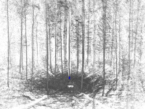
Reconstruction of the three-dimensional forest structure with multisensory methods• Three-dimensional reconstruction of the vegetation structure and their seasonal changes

Turbulent exchange processes between forested areas and the atmosphere (TurbEFA) • Three-dimensional photogrammetric acquisition and analysis of vegetation stands
