Measuring the ice
Even though Polar Geodesy nowadays mainly means work in the office, fieldwork is still indispensible. Geodesists from TU Dresden regularly head to Greenland and Antarctica.
 © Peter Busch
Measuring the ice
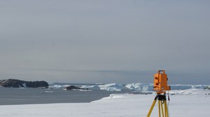
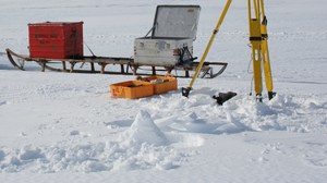
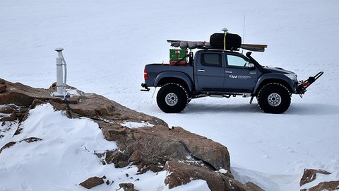
Polar geodesy today mainly means analysing satellite data, or modelling changes of the ice or the solid Earth in the office. Nevertheless, field work in Antarctica and Greenland is still indispensable. Direct measurements in the field provide the necessary data with which satellite observations can be verified and with which mathematical models of crustal deformations, for example, can be improved.
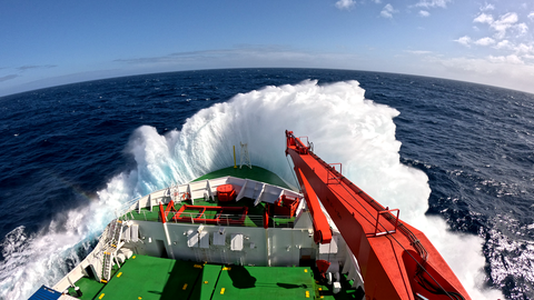
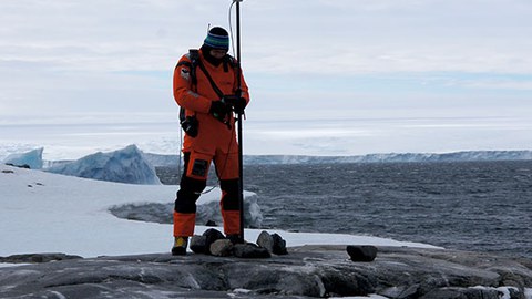
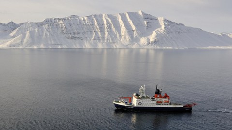
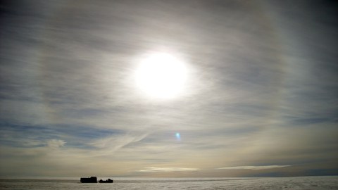
Dresden geodesists regularly set off for several weeks to obtain measurement data in Greenland and Antarctica using global navigation satellite systems (GNSS) as well as classical geodetic methods. In the coastal areas of Antarctica, ships such as the German research icebreaker "Polarstern" usually form the mobile base for the work. Other areas such as the blue ice fields of Schirmacher Oasis or the subglacial Lake Vostok are the target of field expeditions that lead deep into the interior of the continent.
Geodesy students frequently support our field work and thereby get first-hand experience on the art of geodetic measurements under the harsh conditions of polar expeditions. During the fieldwork, the researchers regularly report on their work in weekly reports - read a selection of our colleagues' work reports here and take part in the polar geodesy adventure.

