M.SC. Geoinformatics - For prospective students
Table of contents
|
Important note: Would you like to start a Master's program, but have not yet successfully completed your Bachelor's thesis? If you have completed at least 80% of your coursework to date, you should apply to the Admissions Office
|
|
Degree program with aptitude test After you have applied for the degree program via online application, you apply for the aptitude assessment procedure.
|
General information about the degree program
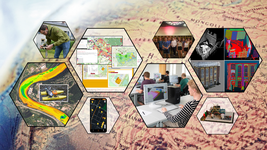
The Master's degree program in Geoinformatics is offered within the Faculty of Environmental Sciences at TU Dresden. Students acquire skills in the development and handling of scientific and technological methods of geoinformatics. Geoinformatics (GI) is a branch of applied computer science in which the consideration of the spatial reference of data and the answering of spatial questions are central. The aim is to develop and apply information technology methods to solve subject-specific problems in geosciences, forestry and hydrosciences, landscape, environmental and infrastructure planning, environmental medicine and other related disciplines. Geoinformatics forms the scientific basis for navigation systems, geoinformation systems, geodata infrastructures and other systems for spatial decision support and planning. It provides the technological basis for improving the understanding of systems and for answering spatial questions on current topics such as climate change and the sustainable management of natural resources at local, regional and global level.
Contents of the program
The content of the Master's degree program in Geoinformatics at TU Dresden covers in-depth fundamentals as well as current development and research trends in geoinformatics. The Master's degree program offers three areas of specialization:
- Geodata acquisition: laser scanning, photogrammetry, optical 3D measurement methods, GNSS and remote sensing as well as methods of data analysis and data integration;
- Geodata services: modeling, methods and technologies for geodata infrastructures as well as the development of geoinformation services and web applications;
- Geodata visualization: methods of geovisual analysis and cartographic communication, methods of automatic generalization, as well as mobile and field-based cartography.
These focal points are supplemented by content from computer science to expand methodological knowledge (e.g. virtual reality, (geo)databases, (geo)software development) and from the environmental sciences as an essential application domain of Geoinformatics (e.g. environmental risks, spatial planning). In-depth seminars and projects deal with current research topics in geoinformatics (e.g. sensor networks, GI usability, web applications for decision support, geodata fusion, etc.). In addition, key qualifications are taught in the following areas: foreign languages, management methods, personnel management, marketing, work organization, contract law, cultures, rhetoric, presentation. In four semesters, the course comprises 6 compulsory modules and 8 compulsory elective modules, in which courses can be selected from compulsory elective catalogs. This allows students to set their own priorities for individual specialization. The fourth semester is used to complete and defend the Master's thesis.
What happens after graduation?
Graduates of the Master's degree are qualified to work on complex tasks in the areas of modeling, recording, management, analysis and presentation of geoinformation. They have in-depth specialist knowledge of scientific, methodological and technological aspects of geoinformatics and have experience in cooperative project work for the development and use of Geoinformation Technologies. Their studies prepare them for senior and managerial positions. Scientific and at the same time practical-professionally oriented knowledge enables targeted and responsible work as well as the ability to independently open up new technologies and fields of activity and to help shape new developments.
The potential fields of work for geoinformatics specialists are therefore diverse. They include public planning and development, location analysis, natural resource management and land use, environmental studies, the development of geodata services, geodata applications and mobile applications as well as the design and production of maps. Corresponding jobs are available in science, public administration, industry and the private sector. Graduates are currently in high demand on the national and international job market.
Why study Geoinformatics (M.Sc.) at TU Dresden?
There are many reasons to choose to study in the state capital of Dresden. With over 30,000 students, TUD Dresden University of Technology is one of the largest universities of technology in Germany and has been a German University of Excellence since 2012. Studying at TU Dresden is characterized by a wide variety of courses, internationality and family friendliness.
The Faculty of Environmental Sciences unites the three environmentally-related scientific fields of Forest Sciences, Geosciences and Hydro Sciences, which is unique in Germany. This interdisciplinary and international orientation is reflected not only in research but also in teaching, as courses from all Departments are offered for the Geography degree program. The diverse activities of the 47 Chairs in research and teaching are intensively networked both regionally and internationally.
The state capital Dresden is considered one of the most liveable cities in Germany:
- Whether graceful baroque buildings in the old town or the charming trendy district in Dresden Neustadt - traversed by the bends of the river Elbe, Dresden's beautiful city center captivates with a wealth of cultural impressions.
- The large number of parks and green spaces make Dresden one of the greenest cities in Europe.
- Numerous bars, pubs and clubs offer plenty of opportunities to turn night into day and have a good time.
- The area surrounding the city offers spectacular natural landscapes, such as the Dresden Heath or Saxon Switzerland.
- Other cultural cities, such as Prague, Berlin, Görlitz or Wrocław, are very easy to reach from Dresden.
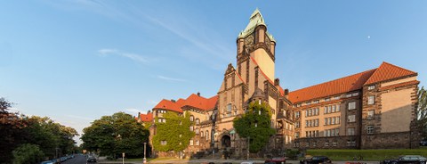
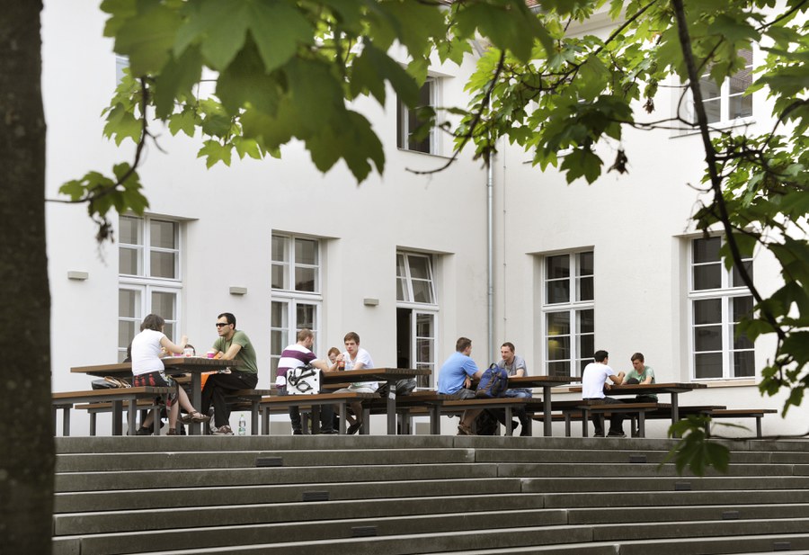
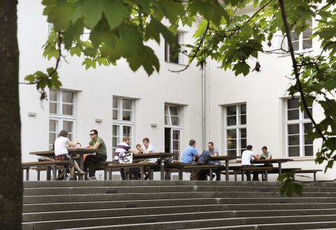
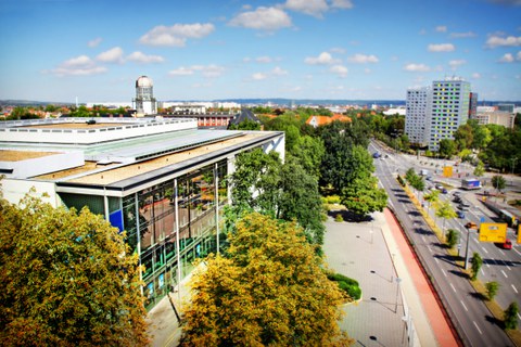
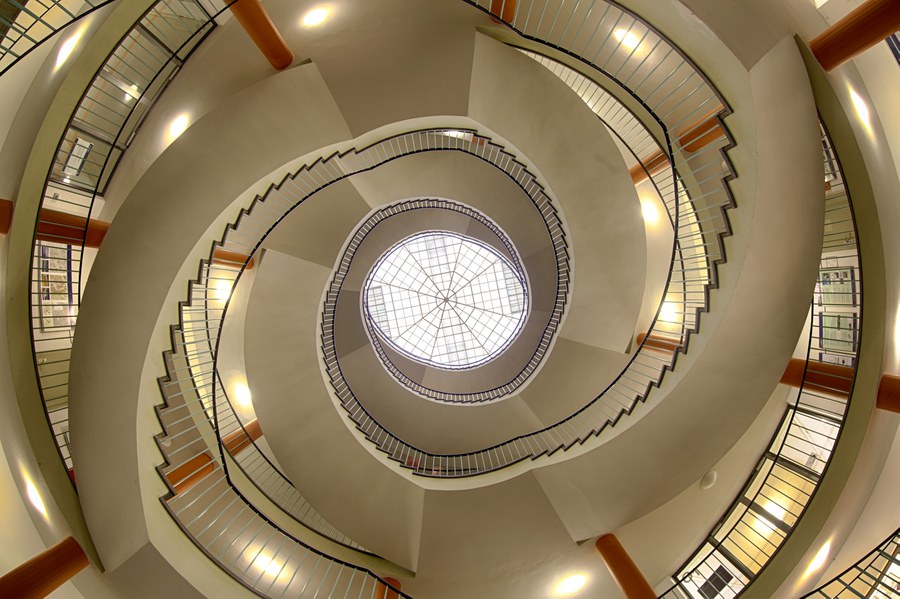
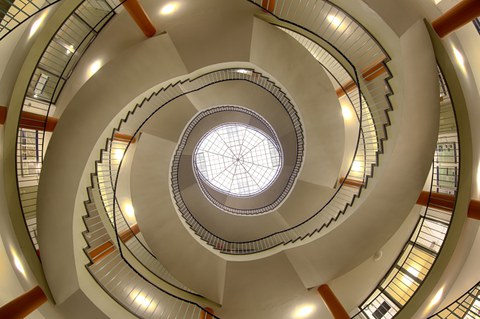
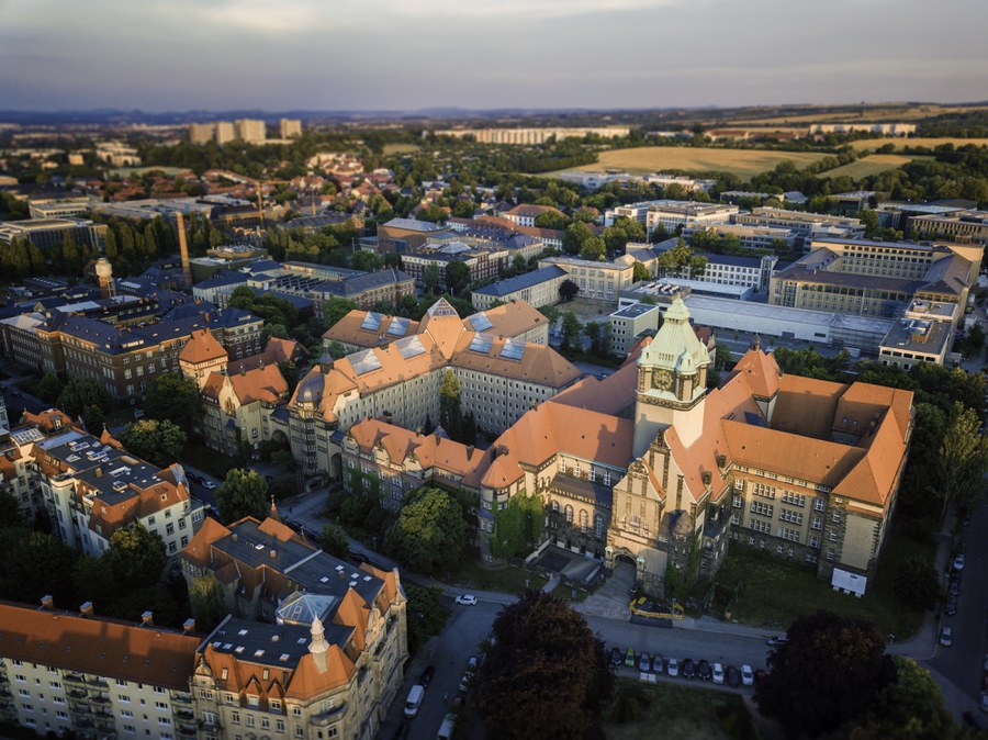
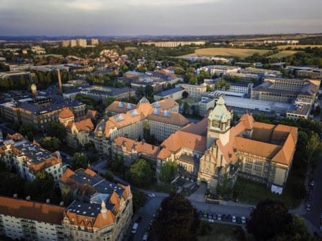
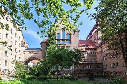
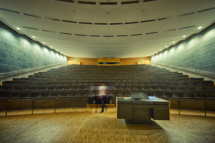
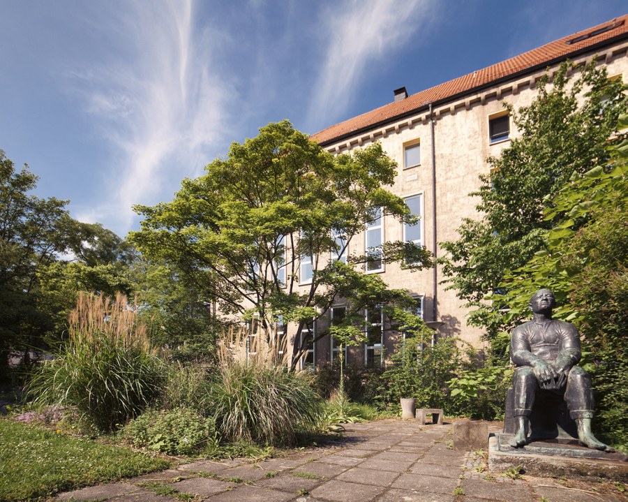
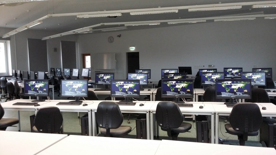
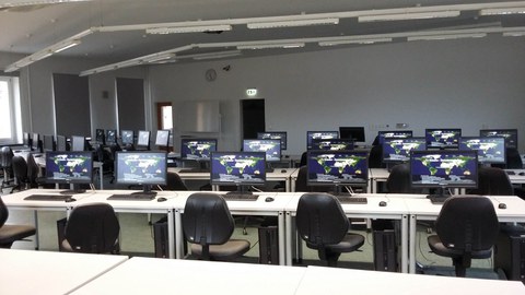
Our campus - the place to study
In the Department of Geosciences, you will study on the main campus of TU Dresden in the Südvorstadt district. Chairs, the Department Office and the Dean's Office of the Faculty of Environmental Sciences are housed in the Hülße Building. The majority of your courses take place there, as well as in the adjoining Georg Schumann Building and the Auditorium Center. The PCs in the geopools in the Hülße-Bau and the adjacent Tillich-Bau can be used before taking a break in the newly designed cafeteria "insgrüne coffeebar". Our picture collection provides a small insight for you.

© TU Dresden
© TU Dresden

© TU Dresden
© TU Dresden
© TU Dresden

© TU Dresden

© TU Dresden

© TU Dresden
© P. Thiemt
If you are curious, you can find further important information and conditions for the degree program, such as study requirements, deadlines and the application link in our central study information system.
Geoinformatics (M.Sc.)
If you are already studying Geoinformatics (M.Sc.) at TU Dresden, you will find all information relevant to your studies under Information for students.
Contact and advice
Do you have any questions about studying or applying? Our contact persons will be happy to help you.
Faculty of Environmental Sciences
 © M. Kretzschmar
Professor apl.
NameMs Prof. Dr. Anette Eltner
Send encrypted email via the SecureMail portal (for TUD external users only).
Short Facts
|
Degree |
Master of Science (MSc) |
|
Standard period of study full-time |
4 semesters (2 years) |
|
Standard period of study part-time |
8 semesters (4 years) |
|
Language of instruction |
German |
|
Tuition fees per semester |
Semester fee and, if applicable, second and long-term tuition fees |
|
Type of study |
Direct study |
|
Type of study |
continuing |
|
Start of studies |
First semester: Winter and summer semester |