Research infrastructures and platforms
TU Dresden runs a range of excellent research and data infrastructures and information systems that enable and enhance research and teaching in the field of climate change and water extremes. Among others, the Chair of Meteorology operates a number of Measuring stations, in part with longterm measurements over several decades.
Research infrastructures
ICOS Integrated Carbon Observation System
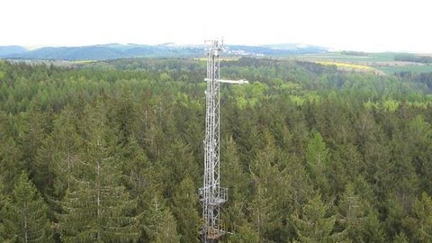
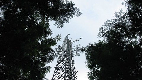
ICOS D and ICOS EU: ICOS is a European research infrastructure with the status of a European Research Infrastructure Consortium (ERIC). In the Ecosystem Observations program, long-term observations of trace gas exchange (including CO2) between different ecosystems and the atmosphere are carried out. TU Dresden operates long-term measurements at 4 measuring stations, including the C1 site Tharandt with the longest measurement series in Germany as well as a cropland site (Klingenberg) and a grasland site (Grillenburg). As part of ICOS, the UFZ operates the Hohes Holz (C1) and Großes Bruch sites, which are also associated with TERENO.
FLUXNET: Forschungsstation Oberbärenburg
TU Dresden participates in the project FLUXNET, an international network of regional and local networks for measuring the exchange of carbon, water and energy between the biosphere and atmosphere using Eddy Covariance measurements. In addition to the measurement sites integrated into ICOS, the Oberbärenburg research station in the Eastern Ore Mountains is also part of FLUXNET. Measurements of air pollutants have been carried out at this spruce site since 1985.
Wernersbach catchment area
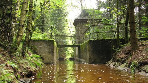
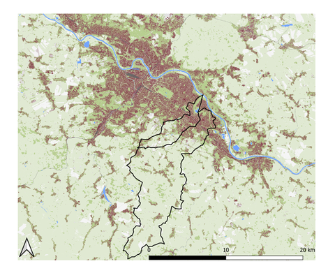
The Wernersbach with its small catchment of 4,6 km2 is located in Tharandter Wald. At this site, the Chair of Meteorology carries out longterm climatological and ecohydrological research since 1967, monitoring rainfall, runoff, soil moisture and groundwater levels. A recent research article (Pluntke et al, 2023) discusses the impact of climate change on local and regional evapotranspiration.
Fire weather stations and forest fire research
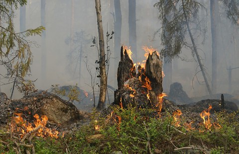
In recent years, Saxony's forests have been affected by forest fires with increasing frequency and severity. The Junior professorship in Environmental Remote Sensing operates several fire weather stations and monitoring sites in the Saxon Switzerland National Park and the Tharandt Forest to predict the risk of forest fires. Forest fire areas, fire severity and fuel types are mapped (research in part by the Junior professorship in Geosensor Systems using UAV photogrammetry and UAV laser scanning) - the data obtained is necessary for modeling forest fires.
Urban Observatory Dresden
Urban Observatory Dresden: The observatory consists of eight modular measuring stations in the urban area of Dresden, which are located in the combined sewer and stormwater drainage systems. By setting up a temporally and spatially detailed monitoring system, processes of water and material transport can be recorded both in the drainage system and in associated freshwater ecosystems. Depending on requirements, flow, conductivity, oxygen concentration, ammonium and nitrate concentration, pH and redox potential, as well as equivalent concentrations for water quality parameters (TSS/CSB/DOC/TOC) can be measured at the individual measuring points. The measurements thus provide the basis for assessing the impact of urban drainage and extreme events on the ecological status of water bodies. The Urban Observatory is associated with TERENO Urban.
Center for Environmental Analysis - CFEA
The DFG Core Facility Environmental Analytics (CFEA) is the technology platform of the Faculty of Environmental Sciences at TU Dresden. The CFEA combines analytical and scientific expertise in environmental research from the fields of forestry, geosciences and hydrosciences. The CFEA offers easy access to modern and innovative analytical technology for internal and external users.
Groundwater teaching and research field
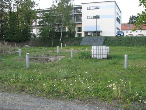
The Groundwater teaching and research field established at the Pirna site enables a wide range of hydrogeological experiments to be carried out as part of research as well as the practical demonstration of established and new hydrogeological methods as part of student training and in the course of advanced training courses. A bank filtration test field is also being established here as part of a comprehensive modernization.
Data infrastructures and information systems
NFDI4Earth
The National Research Data Infrastructure NFDI4Earth consortium for Earth system sciences is building - in a community-driven process - a research data infrastructure that will provide all researchers with FAIR, coherent and open access to all relevant Earth system data, innovative research data management and new data science methods.
ReKIS - Regional Climate Information System
ReKIS is the Regional Climate Information System for Saxony, Saxony-Anhalt and Thuringia. The platform developed by the Chair of Meteorology and other actors is a unique network in Germany for cross-state cooperation on regional climate change issues in Central Germany. The aim of the project is to collect and provide climate information in a regional, needs-based and competent manner.
