Fachrichtung Geowissenschaften
Inhaltsverzeichnis
Studiengänge im Überblick
Für eine Beratung zu fachspezifischen Fragen können Sie sich immer - unabhängig von der heutigen Veranstaltung - an unsere Studienfachberatung wenden:
Frau Dr.-Ing. Eva Hauthal
Neugierig geworden? Mehr Informationen hier https://cartographymaster.eu
Für eine Beratung zu fachspezifischen Fragen können Sie sich immer - unabhängig von der heutigen Veranstaltung - an unsere Studienfachberatung wenden:
Frau Dipl.-Ing. Angela Wollmann
Neugierig geworden? Noch mehr Infos zum Studiengang im Studieninformationssystem (SINS)
Für eine Beratung zu fachspezifischen Fragen können Sie sich immer - unabhängig von der heutigen Veranstaltung - an unsere Studienfachberatung wenden:
Frau Dr. Katja Lohse
Neugierig geworden? Noch mehr Infos zum Studiengang im Studieninformationssystem (SINS)
Für eine Beratung zu fachspezifischen Fragen können Sie sich immer - unabhängig von der heutigen Veranstaltung - an unsere Studienfachberatung wenden:
Jun.-Prof. Dr.-Ing. Anette Eltner
Neugierig geworden? Noch mehr Infos zum Studiengang im Studieninformationssystem (SINS)
Für eine Beratung zu fachspezifischen Fragen können Sie sich immer - unabhängig von der heutigen Veranstaltung - an unsere Studienfachberatung wenden:
Frau Dr. Katja Lohse
Neugierig geworden? Noch mehr Infos zum Studiengang im Studieninformationssystem (SINS)
Programm
11 Uhr – Vorstellung der Masterstudiengänge Geodäsie sowie Geoinformationstechnologien
Impulsvortrag von Prof. Martin Horwath, anschließender Austausch mit studentischen Studiengangsvertreter:innen
Vortragssprache: Deutsch
Zoom-Link
14 Uhr – Vorstellung des Masterstudiengangs Raumentwicklung und Naturressourcenmanagement
Impulsvortrag von Dr. Christopher-Bastian Roettig, anschließender Austausch mit studentischen Studiengangsvertreter:innen
Vortragssprache: Deutsch
Videokonferenzlink (BBB)
Vorstellung der Fachrichtung
Die Fachrichtung Geowissenschaften gehört neben den Fachrichtungen Forstwissenschaften und Hydrowissenschaften zur Fakultät Umweltwissenschaften. Studieninteressierte können mit den Bachelor-Studiengängen Geographie, Geodäsie und Geoinformation einsteigen und danach ihr Studium in den Studiengängen Geographie, Geodäsie und Geoinformationstechnologien sowie Raumentwicklung und Naturressourcenmanagement mit dem Master-Abschluss fortsetzen. Im Fach Geographie wird auch für das Lehramt an Oberschulen und Gymnasien ausgebildet. Darüber hinaus gibt es an der Fachrichtung unter Beteiligung von zwei weiteren Hochschulen (München und Wien) die Möglichkeit, den Internationalen Master Cartography im dritten Semester zu studieren und zu beenden.
© TU Dresden, Fachrichtung Geowissenschaften 2021
Stella gibt einen ausführlichen Einblick in das Master Geodäsie-Studium.
© TU Dresden, Fachrichtung Geowissenschaften 2021
Sven und Pauline erzählen, warum sie sich für das Masterstudium Geographie entschieden haben.
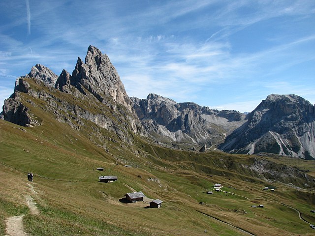
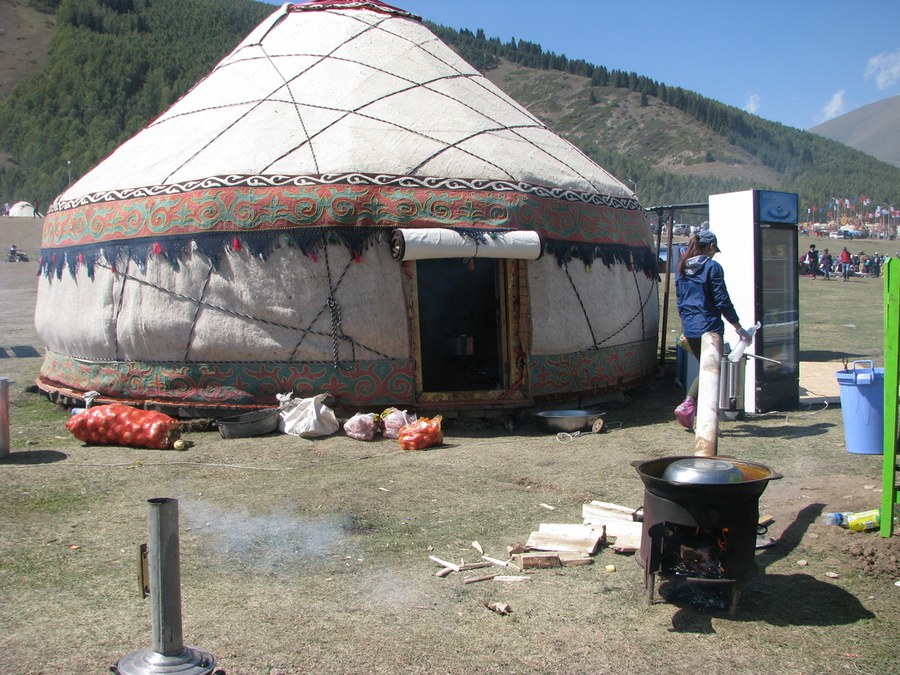
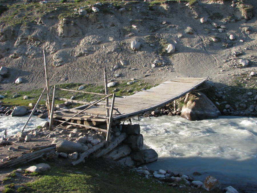
Impressionen der Fachrichtung
Einblicke in unsere Räumlichkeiten

© Katja Maerker

© K. Lassig

© TU Dresden


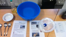
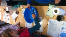
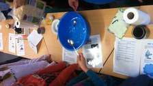
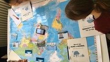
Lehrveranstaltungen

© Lisanne Hölting

© Anna Cord

© Anna Cord

© Lisanne Hölting

© Nicole Raschke

© Nicole Raschke

© Nicole Raschke

© Nicole Raschke

© Nicole Raschke
© Nicole Raschke
© Nicole Raschke
© Nicole Raschke


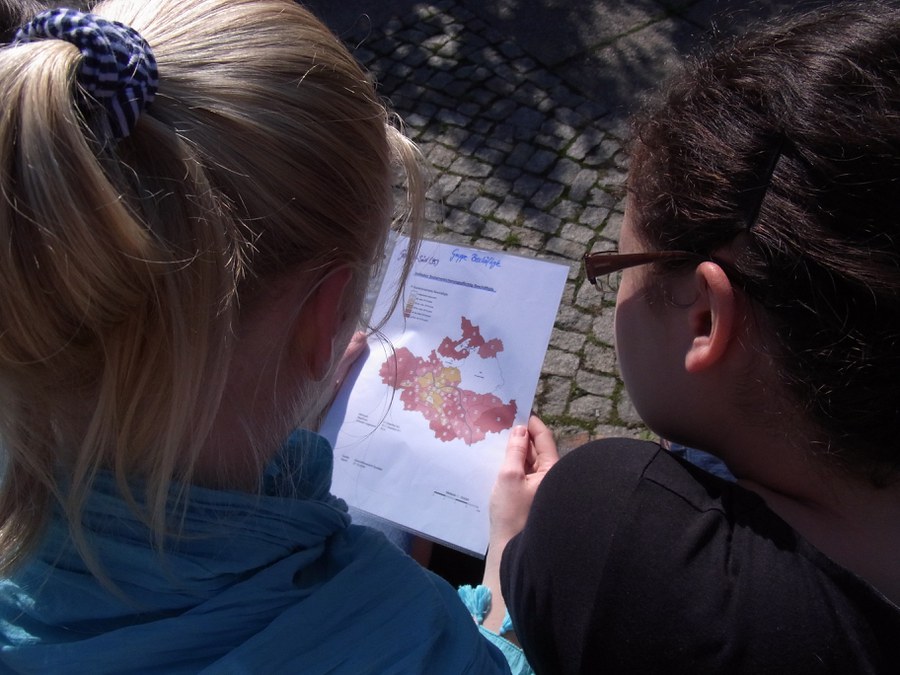
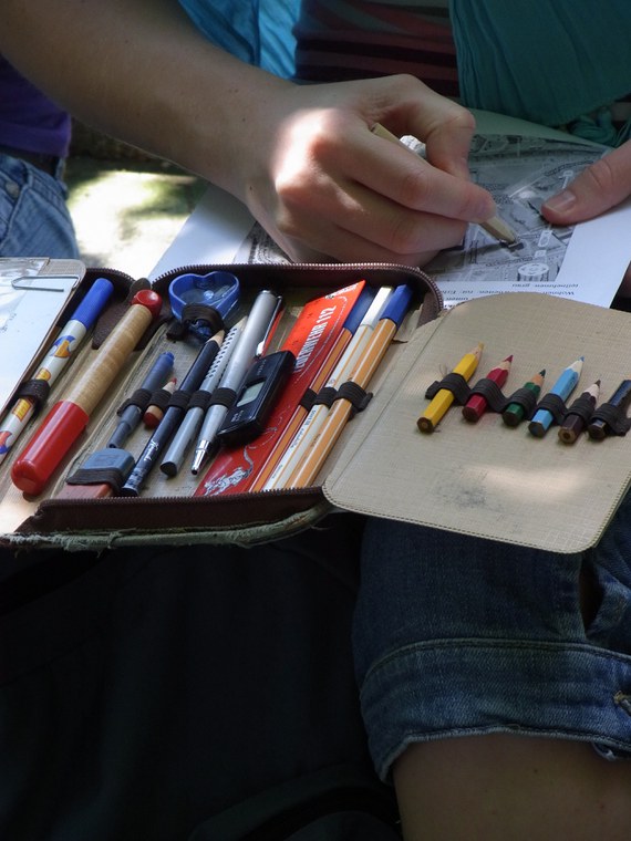
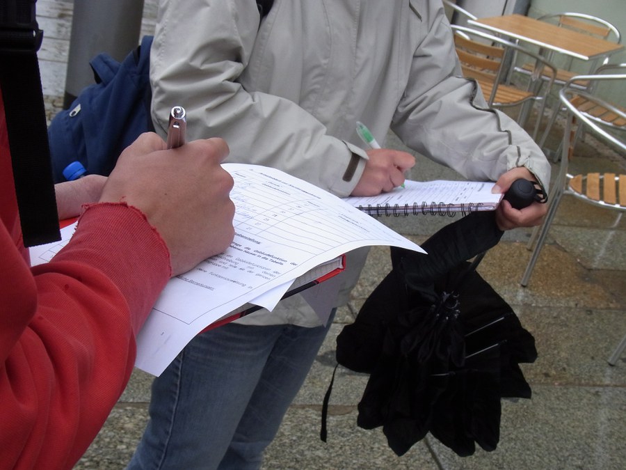
Ein- und mehrtägige Geländepraktika und Exkursionen am Institut für Geographie, in der weiteren Umgebung

© Hans von Suchodoletz

© Hans von Suchodoletz

© Lutz Maerker


… und darüber hinaus:

© Lutz Maerker

© Lutz Maerker
© Lutz Maerker

© Lutz Maerker
© Lutz Maerker
© Lutz Maerker
© Lutz Maerker
© Lutz Maerker

© Benjamin Schröter


Alumniporträt

Die richtige Mischung im Studium Schon als sie in die Schule ging, gehörten Mathematik und Geographie zu ihren Lieblingsfächern. „Das Logische hat mich fasziniert. Probleme zu erkennen, um sie dann zu lösen, fand ich besonders interessant“, sagt Klara Töpfer. Folgerichtig hat sie sich für das Studienfach Geodäsie entschieden. „Es ist eine gute Mischung aus Mathematik und Geowissenschaften, nämlich nicht nur reines Mathewissen wird vermittelt, sondern der Studiengang ist anwendungsorientiert.“ mehr Informationen
Link Bereich
Studium ist mehr als Stundenplan, Hörsaal und Bücher. Daher haben wir eine paar weitere nützliche Links zusammengestellt. Ob im Hörsaalzentrum, im Labor oder in der Mensa; schon bald werden Sie sich hier gut auskennen und dann auch die Zeit finden, Dresden und seine Umgebung für sich zu entdecken und zu genießen.