Research projects
This web page lists all research projects at our chair - projects already concluded as well as current research intentions. The following link provides an overview of our research areas.
Collaborative Research Center / Research Training Groups
SFB/TRR 280: Design Strategies for Material-Minimised Carbon Reinforced Concrete Structures: Principles of a New Approach to Construction
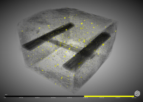
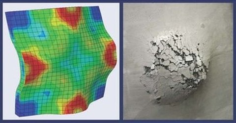
GRK2250: Mineral-bonded composites for enhanced structural impact safety
GRK2947 "AirMetro": Technical and Operational Integration of Highly Automated Aviation in Urban Areas
Forschungsprojekte
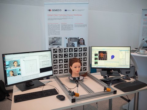
SEMECO-B6: Intelligent patient positioning in precision radiotherapy
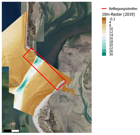
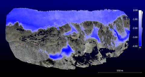
Laser bathymetry in nearshore areas of the North Sea
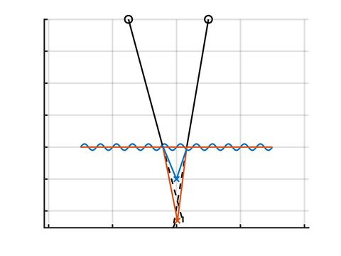
Strict geometric modelling concepts for underwater laser triangluation
Modelling and calibration of underwater line-laser triangulation systems
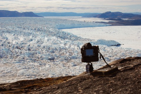
Glacier4D: Glacier margin change monitoring on the basis of multi-temporal 3D point clouds
Detection of debris-covered glacier fronts from stereoscopic image data of different scales
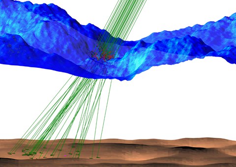
Tomographic approaches to laser bathymetry data processing
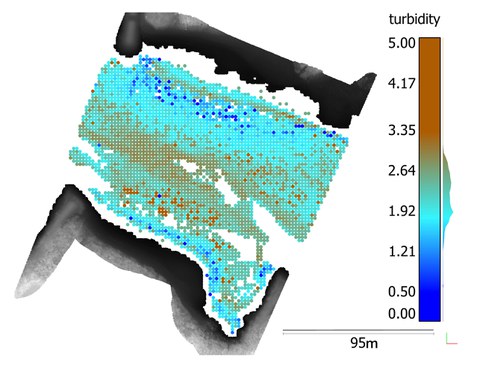
Develope approaches to increase the accuracy and reliability of water bottom detection and the derivation of high-resolution water turbidity parameters
ImPRESSing
Increasing the precision of patient positioning in radiotherapy using positioning aids
ARAILIS
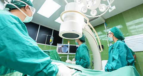
Augmented Reality and Artificial Intelligence supported Laparoscopic Imagery in Surgery
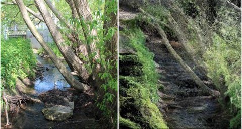
Creek 4D - Measurement of small water bodies
Automated high-resolution recording of morphological parameters of small water bodies to support flood risk management as well as the achievement of a good ecological status
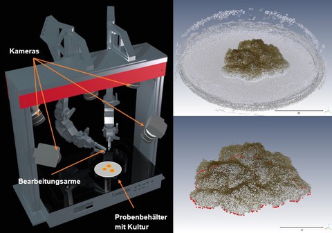
3Dbot - 3D-Reconstruction of biological samples
Development and test of a fast method for the generation of 3D – models of biological samples using images from multiple views
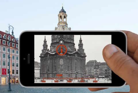
UrbanHistory4D – Multimodal approaches to historic image repositories supporting urban and architectural historical research and communication • Automated geo- and timereferencing of historical photographs in the SLUB-Fotothek and photogrammetric generation of a historical 3D city model
3D recording of the shore line of two lakes in the Lausitzer Seenland using boat-based mobile laser scanning
Calibration methods and accuracy assessment for terrestrial laser scanners • Part of project Process optimization, quality improvement & analysis tools for multi-textured surface models (PROQUATO)
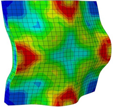
Model-based photogrammetric 3D acquisition of dynamic processes • Project C1 of the Research Training Group 2250/1: Mineral-bonded composites for enhanced structural impact safety
Extreme events in medium and small catchments (EXTRUSO) • New monitoring and prediction technologies for cooperative risk management
Refraction effects in airborne LiDAR bathymetry • Development of a model for strict handling of refraction in airborne lidar bathymetry
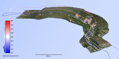
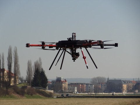
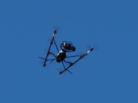
stadtPARTHEland – Cultivated landscape management as a bridge between cities and rural areas • UAV-based photogrammetric data acquisition and analysis
Environmental monitoring in Patagonia • Monitoring of environmental processes in Patagonia using photogrammetric and remote sensing techniques
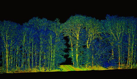
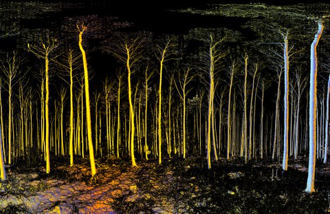
Analysis of diversity effects on above-ground productivity in forests • advancing the mechanistic understanding of spatio-temporal dynamics in canopy space filling using mobile laser scanning
Chancen und Risiken von Ambient Intelligence (AmI) und Industrie 4.0 aus sicherheitstechnischer Sicht • Sichere Personenerkennung in der Mensch-Maschine-Interaktion
ADFEX • Adaptive federative 3D exploration of multi robot system
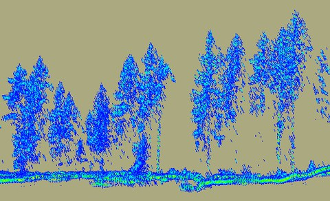
Voxel-based analysis attenuation corrected waveforms • Volumetric forest structure reconstruction from full-waveform airborne laser scanner data
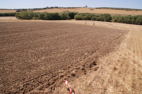
Soil erosion in the marl landscapes of Andalusia • High resolution measurement of soil erosion with TLS and UAV photogrammetry
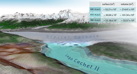
Photogrammetric monitoring of glacier margin lakes • Conceptional investigations of a GLOF-monitoring-system
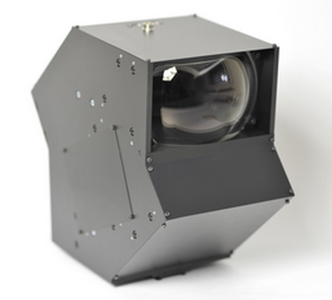
All-reflective optics for multispectral image acquisition in photogrammetric applications • Optimization of geometric models and development of calibration strategies for an all-reflective camera system
Reconstruction of the three-dimensional forest structure with multisensory methods • Three-dimensional reconstruction of the vegetation structure and their seasonal changes
Turbulent exchange processes between forested areas and the atmosphere (TurbEFA) • Three-dimensional photogrammetric acquisition and analysis of vegetation stands
Tracking and analysis of glacier motion • Photogrammetric measurement of spatial and temporal high-resolution motion fields of glaciers
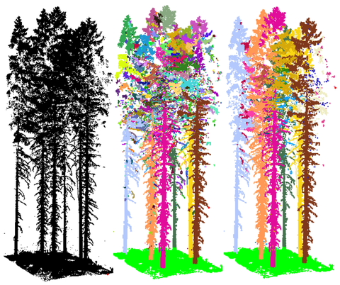
Terrestrial laser scanning in forest inventory • Automatic determination of forest inventory-relevant tree parameters
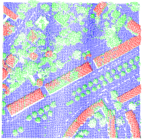
3D Building Extraction from LIDAR Data and Aerial Imagery
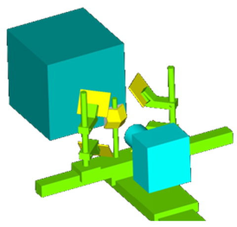
3D Particle Tracking Velocimetry • Determination of three-dimensional velocity fields in a draw tunnel using a high-speed camera-mirror system
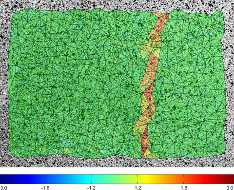
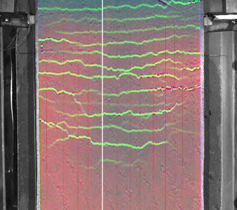
Indicators of civil engineering material during load tests • Crack detection and crack tracking at prestressed concrete components and construction components without shear bar
Automatic techniques for 3D reconstruction of critical workplace body postures • Structured 3D motion analysis based on range imaging data
Earth observation and environmental modelling for the mitigation of health risks • Earth observation and environmental modelling for the mitigation of health risks
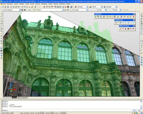
Image-based interpretation of point clouds in CAD software environment • Automated referencing between point clouds and digital images
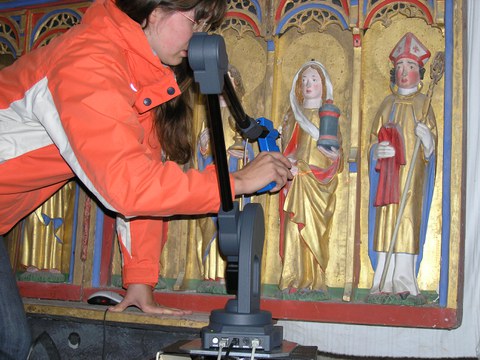
3D-Digitization of sculptures with MicroScan 3D • Art theoretical investigation of medieval altars
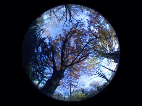
Hemispherical Photogrammetry for forest science • Improvement of the diagnostics of forest ecosystems with special consideration of radiation-ecological aspects using digital hemispherical photogrammetry
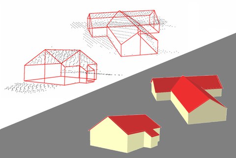
3D building model generation from airborne laserscanner data • Development of methods for the automatic derivation of 3D building models from laser scanning point clouds
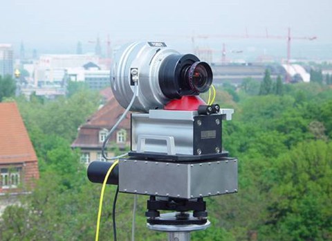
Geometric modeling of a panoramic camera • Geometric modeling, calibration and photogrammetric applications of panoramic cameras
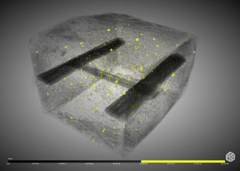
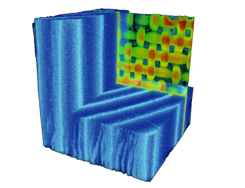
Computer tomography • Development of image analysis methods for voxel data segmentation and change detection in voxel data sequences
Material analysis • Photogrammetric techniques in civil engineering material testing and structure monitoring
Photogrammetric determination of water profiles • Optical triangulation methods for temporal resolved determination of water profiles in hydraulic models
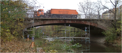
Photogrammetric deformation measurements • Pilot studies on photogrammetric bridge deformation measurement based on monoscopic image sequence analysis

